7 Nights Marmaris Yacht Charter Itinerary
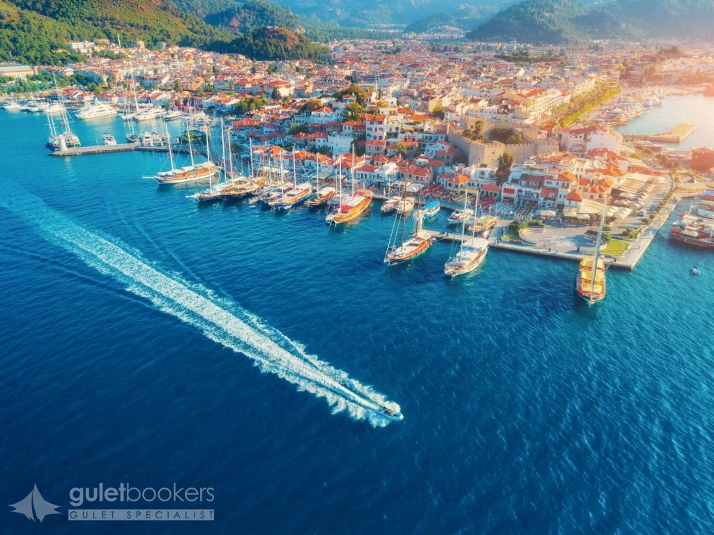
Marmaris is one of the rare towns in Turkey where you can swim right in the city centre, despite the increased construction, as enviromental and water treatment facilites have been installed. For those who seek cleaner seas and quieter spots there are many gulet trips that go to other bays. Stroll and explore the bustling Marmaris bazaar, getting the feeling of being in Asia Minor. Marmaris in recent years has spread out with new hotels and apartments but the old centre still retains its village atmosphere. Marmaris has a great choice of shops and restaurants many with an international flavour. The most important historic building in the town centre is the castle. The first castle built on this site was constructed up by the Ionians, with the present castle you see being built by the Ottomans in 1522. After the Ottoman Sultan Suleyman the Magnificent conquered the city in 1522, many buildings were built which are still visitabl today. Apart from its clean sea and shopping, Marmaris is also famous for its nightlife. Marmaris is accessible by international travellers via Dalaman International Airport (DLM) – Marmaris being 90 minutes and Bodrum Milas International Airport (BJV) – Marmaris being two and half hours.
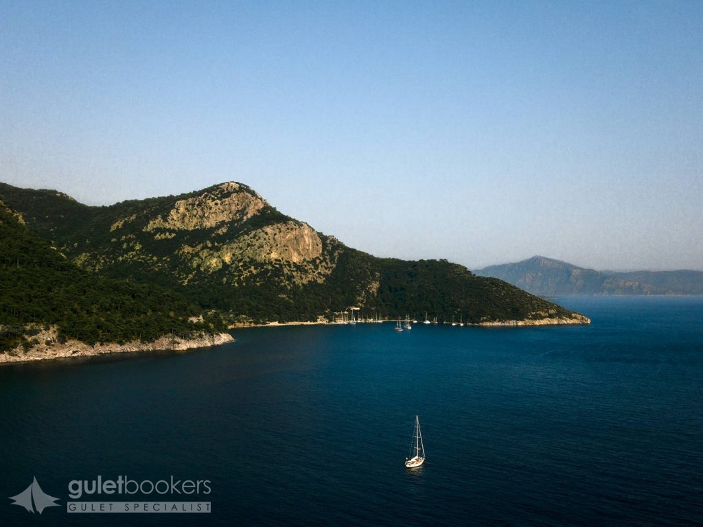
One of the main stopping points for the gulets that cruise along bays between Marmaris and Gocek is Ekincik Cove. First you will see through the beautiful village of Ekincik, surrounded by gree. And than you get into the cove itself, which is extremely clean and has not been suffocated by heavy building. You are surrounded by forests while in front of you there is the beach and the sea. The beach is very beautiful and the water very clean. On its western part, among the popular stopping or overnighting coves there are Semizce, Kargi and Karacay. There are two anchoring points in the port of Ekincik. One of them is Köy Önü (In front of the village) In the area where the road meets the beach there is a quay where yachts can moor.
The cute little holiday destination known as Dalyan is located on the shores of the fjord like natural channel, called Calbis in ancient times, which links Lake Köycegiz to the sea. With the start of tourism development in recent years and threat of the danger to the environment led to the area being declared by the state as a special protection district in 1998. This measure helped to protect the region from over development. The village of Dalyan, without a change in its natural beauty for many years, is today still very far from the threat of excessive development. Boats are all lined up along the channel in Dalyan. These channel are no more than places to cruise around and see as far as they are concerned. The boats are used as a private or shared boats for rent to enable tourista to the see the Iztuzu coast, the ancient city of Kaunos, the rock tombs and the sites of mud baths.
The ancient city of Kaunos / Optional Tour
From the wharf near the ruins reachable from Dalyan by boat it is just a 10 minutes walk to the ruins of the ancient city of Kaunos. Those coming by yachts can drop anchor around Delikli Ada and go ashore by small boat. Kaunos was a significant trading port, through it lost its strategic importance as the alluvial sands filled the harbour. According to the father of history, Heredots, the people of Kaunos were natives of Caria who considered themselves to be Cretans. The rock tombs that can be seen from as far as Dalyan were built in 4 BC and were also used during the Roman period later. In Lycian type tombs the dead were placed on rock beds.
Iztuzu
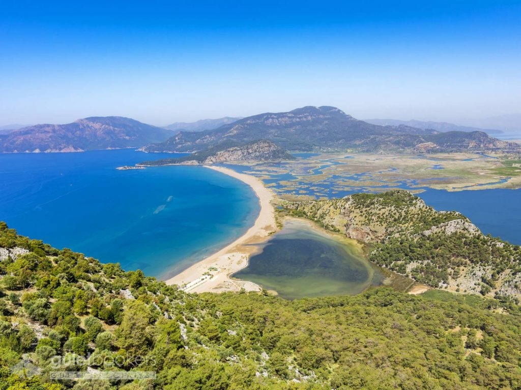
The coast of Iztuzu became World famous thanks to the Caretta Caretta turtles. On one side of the coast are the Iztuzu beach facilities and on the other side are the Dalyanagzi day-outing beach facilities. This beautiful coast goes on four kilometres on end. There are suitable places high enough to take photographs as one gets closer to the beach. This panorama includes all of the delta and the coast. Iztuzu, quite apart from the Caretta Caretta turtles, is simply a wonderful gift of nature. And they come to the beach on here coast to lay their eggs. Their lenght is about 1-1.5 metres and they weigh as much as 150 kg. There is magnificent scenery of in a type seen in labyrinths, with the 5.4 kilometre along coast going round and round the marshes. On the coast around Dalyan during all seasons the turtles ranging up to one metre in lenght can be seen.
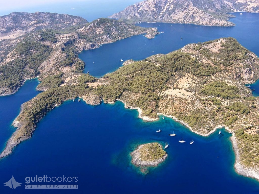
When you get towards the Gocek Gulf, the most popular destinations are AGA PORT and KOCABUK. The Aga Port consists of one small and one large harbour. Both end in a beach area. Those who follow the path upwards from Buyuk (Large) Aga port can get to Roman and Byzantine ruins in the Koyici region. Another leads you up the hill to the west and to the point of the Kapidag Peninsula that has a lake on the park. There are three or five houses around the lake, and a terrific view from above. After Aga Port you get to Kocabuk, Gobun Island and then to the Gulf of Gocek. The coves and the islands in the gulf have been declared a Special Environment Protected Region since 1988.
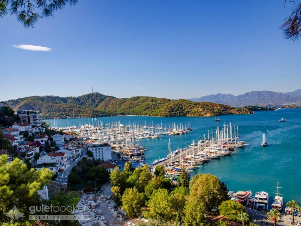
If all places and all seas were known by a colour, Fethiye’s colour would be turquoise. The word turquoise, a blue that has more than a hint of green, comes from the blue used in the Turkish tile work. The most beautiful shade of the colour blue came and settled on the sea. Once you visit the town’s pleasant baazar you feel as if everything has been planned and preserved for you, with its narrow and shady streets and tiny squares. You will forget about being a foreigner and feel as if you have lived here for years. In the ancient times on the site of modern Fethiye used to stand the city of Telmessos. The city was one of the most important of the Lycian region, being on the western border of Lycia. Fethiye offers you; history, culture, nature, beaches, aqua sports, the best paraglading in Turkey, the most impressive historical sites, best bays, cuisine and shopping.
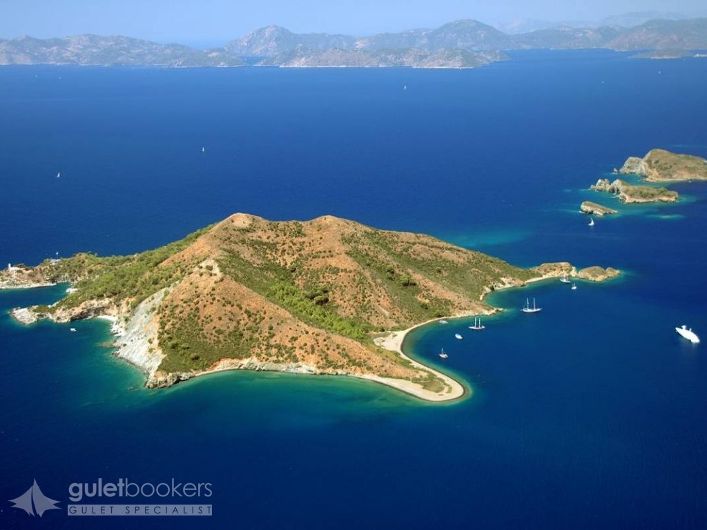
?övalye Adas? (Knight Island) is in the mouth of the Gulf of Fethiye, sited as if protecting the gulf itself. On the island, where the Knights of St John were once based, there are still some settlements, with summerhouses, motels and cafes. It is a stopping point on the return of the trip from the 12 Islands.
Kizilada (Red Island) was so named as the sand and gravel on the beach take on a reddish hue at sunset. On the island there is no building other than a lighthouse. Since its east side is closed to waves it is suitable for anchoring and swimming.
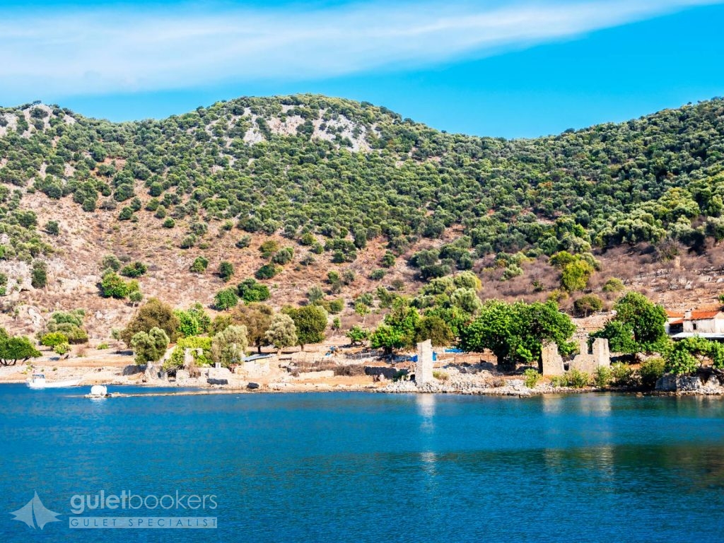
On your trip you come across a monitoring tower and a shipyard, a tersane in Turkish, after which the island is named. Tersane Island (Shipyard Island) is the largest island in the Gulf of Gocek and Tersane cove is the largerst on the gulf. After the population exchange between Greece and Turkey in 1922, the area was mainly inhabited by Greeks. In the flat lands behind the cove are the ruins of a few houses and a church. With a walk of ten minutes you can get to another cove. Sailors call the two coves “summer” and “winter”, both of which are popular stopping points for daily boat tours and the Blue Cruise.
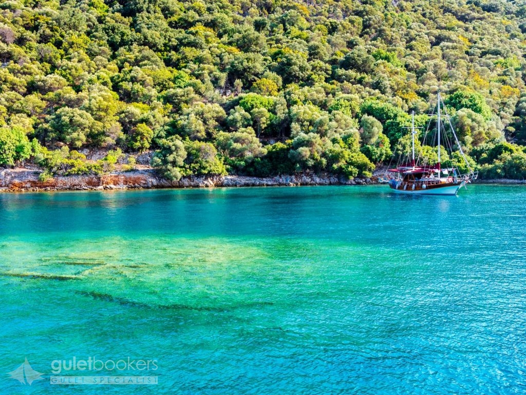
It is believed that it has taken its name from the wild boars living on that island once upon a time. The island is also called Prince Island referring to a prince living on here. The island is covered with pine and olive trees. There is a shallow area of 30 to 40 metres in diameter in the middle of the cove where there are ruins from the Lycian and Roman ages. The highest of the ruins are a meter below the surfaceof the water. It is very pleasant to swim over the ruins, especially when wearing the googles. Yachts can easily anchor and moor in the cove of the island as it is sheltered from the winds.
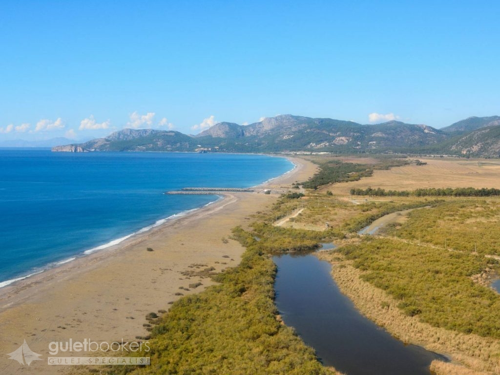
Sar?germe, with its close proximity to Dalaman and with more modern accommodation facilities being built, has found itself as a centre of tourism in a region fast becoming internationally popular. The interaction of pine trees and the coast of Sarigerme, with its fine sand againist the backdrop of beautiful pine trees, has continued for centuries. Visiting boats anchor in the rocky small cove on the North east of Baba Island. The sea is clean and shiny. A cave close to the northern end of the island crosses the island from one side to the other. On the top of the hill there is the ruin of a tower. The flat Dalaman Plateau begins to increase in height as you get to the Kapidag Peninsula, reaching an altitude of 500 meters before Kurtoglu Point. After this area, the Gulf of Fethiye calm waters begin. The 13,5 kilometres opening between Kurtoglu and ?blis (Dökükba??) is the mouth of the gulf. This gulf has the most popular coves and islands for the Blue Cruise boats.
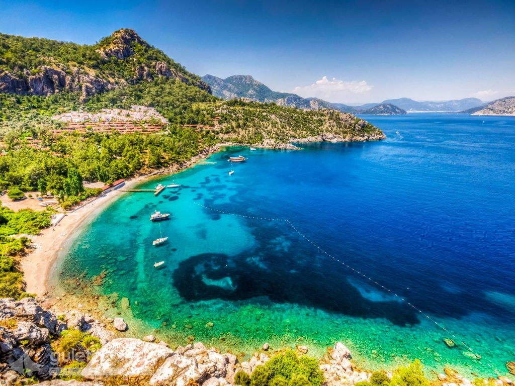
Among the coves after you leave Marmaris are beaches of Turunc and Kumlubuk. In Turunc bay, you will see a beautiful painted sea with a special tone of blue. There are all shades of blue in the water: indigo blue, glass blue, and the blue of the sky reflected on the water and others. Turunc is hemmed it by a high covered in pines trees that bring a coolness to the seaside. Although it is always sunny it is not that hot. And of course pomegranate, mulbery, plums and citrus trees abound, through being called Turunc (Citrus) you would expect more citrus trees, throug to make up for this there are geraniums, oleanders and begonias everywhere. Turunc is one of the indispensable stops on the Blue Cruise.
Send Enquiry Marmaris – Fethiye – Marmaris Cruising route
This itinerary is only bookable for private charters. If you are interested in a cabin charter, please contact us for more information.
Guletbookers is the independent gulet charter company located in Bodrum - Turkey and dedicated to giving you
the best gulet charter possible from the widest choice of gulets possible.
Get in touch via WhatsApp for Seamless Communication.
Talk to our experts and browse through more yachts.


